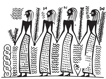
Valerie Woelfel - About the Illustrator
 Valuable combination of training, experience and strong sense of personal integrity. Awarded Master's Certificate in Geographic Information Science in Archaeology. Over 30 years' of involvement in the field of archaeology with an emphasis on visualizing archaeological data through illustrations and maps. Extensive experience in the field and in the lab.
Education
University of West Florida, Master's Certificate in GIS for Archaeology
Augsburg College, Minneapolis, MN - BA in Studio Art
University of Minnesota - Graduate work in Ancient Studies
University of London - Classes in Archaeological Illustration
Core Competencies
Spatial data creation, manipulation, and analysis - Archival research - Cartographic design - Artifact illustration - Knowledge of archaeological method and theory - Experience in archaeological excavation, survey, and artifact analysis - Use of relational databases - Verbal and written communication - Team management - Problem solving - Critical and analytical thinking - Analysis and research
Technical Skills
ESRI ArcMap and ArcPro
QGIS
Adobe Illustrator, Photoshop, InDesign, and DreamWeaver
Microsoft Word, Excell, PowerPoint, Access
Education includes courses in Python scripting, cartography, and remote sensing
Experience
Freelance archaeological illustrator. 1996-current
Create drawings for clients ranging from independent scholars to organizations such as Getty Publications, Harvard Center for Hellenic Studies, and the British Mueum.
Co-director of theIdalion Expedition in Cyprus. 2013-current
Supervided excavation, dig logistics, and student training. Designed and supervise a project to digitze 30 years' worth of archaeological data for online publication. Create artifact drawings.
Minnesota Department of Natural Resource. St. Paul, MN 2016-2018
GIS Research Analyst. Created maps and graphics from complex, scientific data for publication and relase to the public. Conducted hitoric research and created field maps in support of fieldwork.
Idalion. Cyprus. 1998-2020
Illustrator, GIS specialist. Co-director since 2015. Collected GPS data in the field. Designed and created geodatabase and began digitizing backlog of legecy data. Excavated on site. Trained and supervised students and volunteers. Reconstructed pottery. Taught archaeological illustration to students.
Mendes. Egypt. 2013
Cretaed artifact digital artiface illustrations using Adobe Illustrator.
Chersonesos. Ukraine. 2004, 2006, 2007
Illustrator. Created artifact drawings using pen and ink as well as Adobe Illustrator and Photoshop for publication in print and online.
Metaponto. Italy. 2004
Created illustrations of ceramics in Illustrator for print and online publication.
Cuma. Italy. 1999-2001.
Created finds illustrations, maps, plans and reconstructions. Worked in the lab on finds processing and protocol development. Excavated on site. Trained volunteers.
Cadir Huyuk. Turkey. 2000
Created finds illustrations. Excavated on site. Trained students and supervised local workmen. Reconstructed pottery.
Rhantidhi. Cyprus. 1997, 1998
Created finds illustrations. excavated on site. Supervised and trained students and volunteers. Taught archaeological illustration classes.
Sarakeno. Greece. 1996
Illustrator. Created finds drawings, also recorded deep sounding for geologists. Excavated on site.
Pompeii. Italy. 1992-1996.
Created illustrations of wall paintings, Recorded damaged and fading paintings in pen and ink and watercolor.
Theologos. Greece. 1991-1993.
Illustrator and excavator. Drew finds illustrations. Recorded Bzantine mosaic in watercolor. Excavated on site. Supervised and trained students. Taught archaeological illustration classes.
Kelheim. Germany. 1987, 1990, 1991.
Illustrated artifacts, maps and plans. Excavated on site.
Aulnat. France. 1988, 1989
Finds illustration. Reconstructed pottery. Excavated on site.
Sussex. England. 1986-1988.
Excavated on a number of rescue sites.